Rosa Ludwig · 7 September 2026
Researchers Document Shifts in Fish Migration Patterns Adjacent to Ferry Routes
Marine biologists have initiated long-term monitoring programs to assess how fish populations adjust their seasonal movements in areas where ferry operations have expanded, and data collected through 2026 shows measurable deviations from historical migration corridors near several coastal routes including those serving Ferry Bay. These programs combine acoustic tagging, sonar surveys, and vessel traffic logs to build a clearer picture of the interactions between marine life and scheduled ferry passages.
Background on Ferry Operations and Local Waters
Ferry services in regions like Ferry Bay operate on fixed timetables that have seen incremental increases in frequency over the past decade, and this change coincides with broader regional growth in commuter and tourist travel. Vessel routes cross traditional spawning and feeding grounds for species such as salmon, herring, and various flatfish, while the consistent noise and wake patterns create conditions that differ from earlier decades when sailings were less regular.
Monitoring Methods Employed by Research Teams
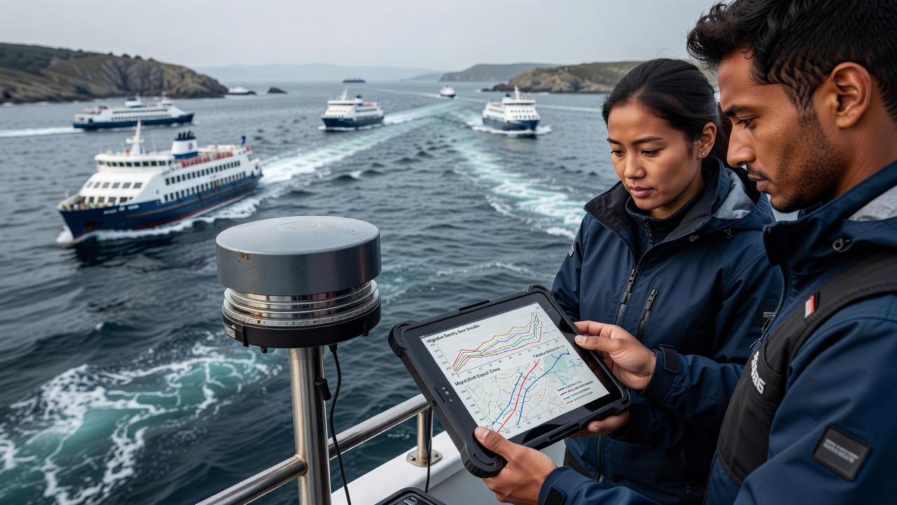
Teams deploy arrays of underwater receivers that detect signals from tagged fish as they pass through monitored zones, and these receivers operate continuously alongside hydrophones that record ambient sound levels generated by passing ferries. Researchers cross-reference the resulting datasets with real-time automatic identification system records from vessels, allowing them to correlate specific passages with observed changes in fish speed, depth, and direction. Additional surveys using multibeam sonar provide snapshots of school density and distribution before and after peak traffic periods.
Key Observations from Recent Data Collection
Analysis of records extending through September 2026 indicates that certain herring schools now approach ferry corridors later in the day than they did five years earlier, and this temporal shift aligns with periods when daily sailings have increased by roughly twenty percent on several routes. Salmon smolts tagged in upstream rivers show altered vertical movement patterns when crossing busy channels, often descending deeper during daylight hours when ferry density is highest. Flatfish species appear less affected in terms of timing yet demonstrate slight lateral displacements away from the primary shipping lanes.
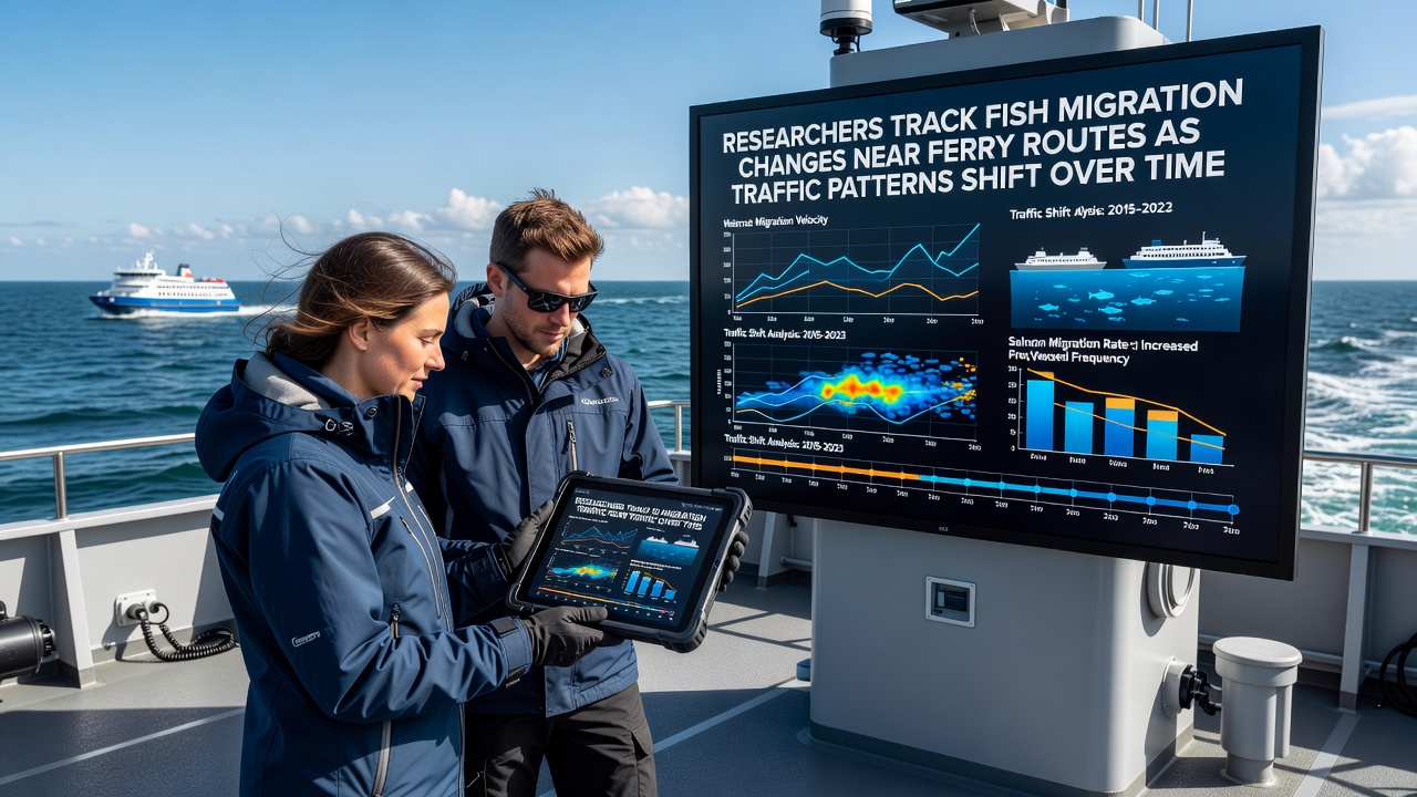
One study conducted by a consortium of regional universities tracked over four thousand individual fish across three consecutive seasons and found that average transit times through the study area lengthened by twelve to eighteen minutes for several pelagic species. These measurements were obtained by matching entry and exit timestamps from the receiver network while accounting for tidal cycles and water temperature variations that could otherwise influence movement rates.
Role of Changing Traffic Patterns
Ferry schedules have evolved in response to demand fluctuations and infrastructure upgrades, and operators have introduced additional evening and weekend sailings on routes that previously ran only during standard commuter windows. The resulting rise in cumulative engine hours within confined waterways produces sustained low-frequency sound fields that overlap with the hearing ranges of many fish species. Observers note that vessels traveling at consistent speeds along established lanes create predictable disturbance zones, whereas occasional route deviations or maintenance-related schedule changes produce different acoustic footprints that fish may respond to differently.
Integration with Broader Environmental Records
Researchers have compared their findings against datasets maintained by agencies such as NOAA Fisheries and the Australian Institute of Marine Science to place local observations within larger regional trends. These comparisons reveal that similar timing adjustments appear in other ferry-served estuaries around the world, suggesting the pattern is not isolated to Ferry Bay waters. Water quality measurements taken concurrently show stable nutrient levels and oxygen concentrations, indicating that the migration changes are more closely tied to physical disturbance than to chemical alterations in the habitat.
Future Monitoring and Data Sharing Plans
Project leads plan to expand the receiver network during the 2027 season to include additional cross-channel transects, and they intend to incorporate machine-learning algorithms that can process larger volumes of acoustic and vessel data in near real time. Collaborative agreements with ferry operators allow access to detailed operational logs, which in turn support more precise modeling of how schedule adjustments might mitigate impacts on specific fish populations. Publicly available summary reports are updated quarterly so that other research groups can incorporate the information into wider coastal ecosystem studies.
Conclusion
Continued tracking of fish movements near ferry corridors provides an accumulating record of how regular vessel traffic influences migration timing and pathways, and the data gathered through September 2026 supplies a baseline against which future changes can be measured. By maintaining consistent methods and sharing results across institutions, researchers build a foundation for understanding these dynamics without drawing premature conclusions about long-term population effects.