Logan Carter · 21 September 2026
Community-Led Mapping Projects Reveal Hidden Ecological Corridors Along Ferry Bay Waterways
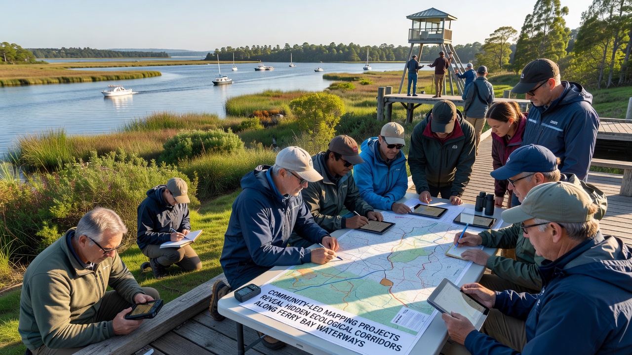
Community groups across the Ferry Bay region have organized systematic mapping initiatives that combine local knowledge with digital tools to identify ecological corridors previously undocumented in official records, and these efforts have produced detailed data layers showing connections between fragmented habitats along the waterways. Residents trained in basic field methods work with biologists to record animal movements, plant communities, and water flow patterns during seasonal surveys that began intensifying in early 2025 and continued through September 2026 when final datasets were compiled for public release.
Methods Behind the Community Mapping Effort
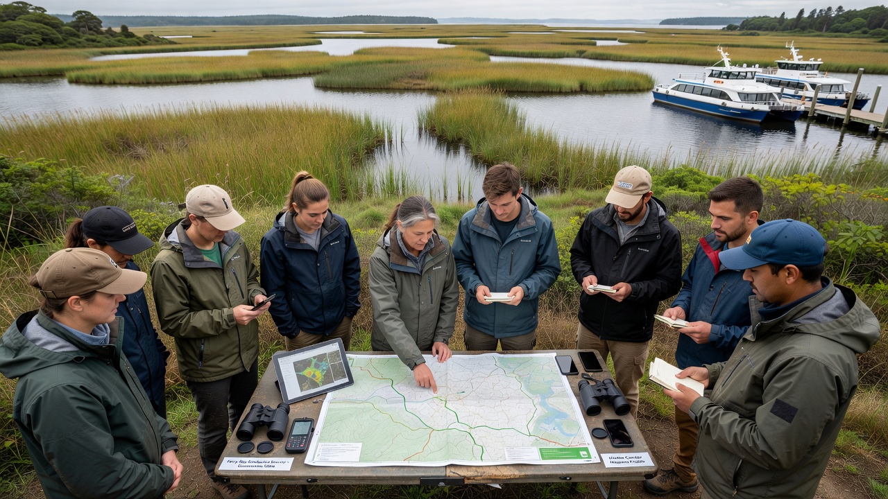
Participants rely on smartphone applications linked to open geographic databases so they can upload georeferenced observations in real time while walking established trails and less accessible shoreline sections, and this approach allows multiple teams to cover overlapping zones without duplicating effort. Training sessions held at local community centers cover standardized protocols for identifying sign of species such as river otters and migratory birds, while also teaching users how to note soil conditions and invasive plant presence that affect corridor viability.
Equipment remains modest, consisting of handheld GPS units supplemented by free satellite imagery layers, yet the volume of observations collected over eighteen months exceeds earlier agency surveys conducted with professional crews alone. Data validation occurs through weekly review meetings where experienced naturalists cross-check entries against photographs and field notes, which reduces errors before information enters the shared map repository.
Key Findings from the Surveys
Analysis of the aggregated records shows narrow strips of riparian vegetation that function as movement pathways between larger wetland patches on either side of Ferry Bay, and several of these corridors run parallel to but outside the main ferry navigation channels. One previously unmapped route extends from the northern marsh complex southward for nearly three kilometers, connecting feeding areas used by waterfowl during fall migration with overwintering sites that had been considered isolated.
Researchers at regional universities have begun incorporating the community datasets into habitat models, and preliminary runs indicate that protecting these linear features could increase overall connectivity scores by up to twenty percent compared with earlier estimates based solely on satellite land cover classifications. The September 2026 release includes time-stamped records demonstrating that certain corridors experience peak use during dawn and dusk hours, information that helps prioritize timing for any future maintenance activities along adjacent infrastructure.
Integration with Existing Conservation Frameworks
Local planning departments have started referencing the new corridor maps when reviewing development proposals near the waterways, which allows conditions to be attached that preserve vegetated buffers identified through the volunteer work. Coordination meetings between community coordinators and staff from the U.S. Environmental Protection Agency have focused on aligning the grassroots data with broader watershed restoration priorities already funded through federal grants.
Similar projects operating in other coastal areas have demonstrated that sustained volunteer involvement produces monitoring coverage at scales difficult to achieve through agency budgets alone, and Ferry Bay teams now exchange protocols with groups in the Pacific Northwest and parts of Australia to refine techniques for tidal influence zones. The resulting maps remain openly accessible through a public portal so that additional contributors can add observations as seasonal changes occur.
Challenges Encountered During Data Collection
Weather events occasionally interrupt fieldwork, particularly during winter months when high water levels limit access to certain shoreline segments, yet teams compensate by shifting emphasis to upland connection points that still feed into the primary corridors. Equipment failures in humid conditions have prompted the adoption of waterproof cases and backup battery packs, measures that maintain continuity across multi-day survey windows.
Privacy considerations arise when observations occur near private property boundaries, leading organizers to establish clear guidelines that restrict data collection to public rights-of-way and require landowner permission for any off-trail entries. These steps have helped maintain community support while still capturing the majority of ecologically significant features.
Conclusion
The community-led mapping work along Ferry Bay waterways has supplied verifiable spatial information that fills gaps left by traditional surveys, and ongoing contributions continue to refine the corridor boundaries as new observations arrive. Government agencies and academic partners now treat the datasets as a core reference layer for connectivity planning, demonstrating how distributed volunteer efforts can generate actionable ecological intelligence at the local scale.